
UK cold snap persists with sub-zero nights to come.
UK cold snap persists with sub-zero nights to come.
Temperatures are set to drop well below zero in much of the UK over the next few nights.
Temperatures in the Oxfordshire village of Benson dropped to -6.1C (21F) overnight, and most places saw readings between -2C and -5C.
On Friday, temperatures could drop to -9 C, the coldest night of the week.
Several large swathes of the UK are under yellow weather warnings for snow and ice, causing travel disruptions.
Almost the entire east coast of Britain is under a Met Office warning until 11:00 GMT on Friday. It covers much of south-west England until 16:00 GMT on Thursday.
In the east of Northern Ireland, an ice warning is in effect.
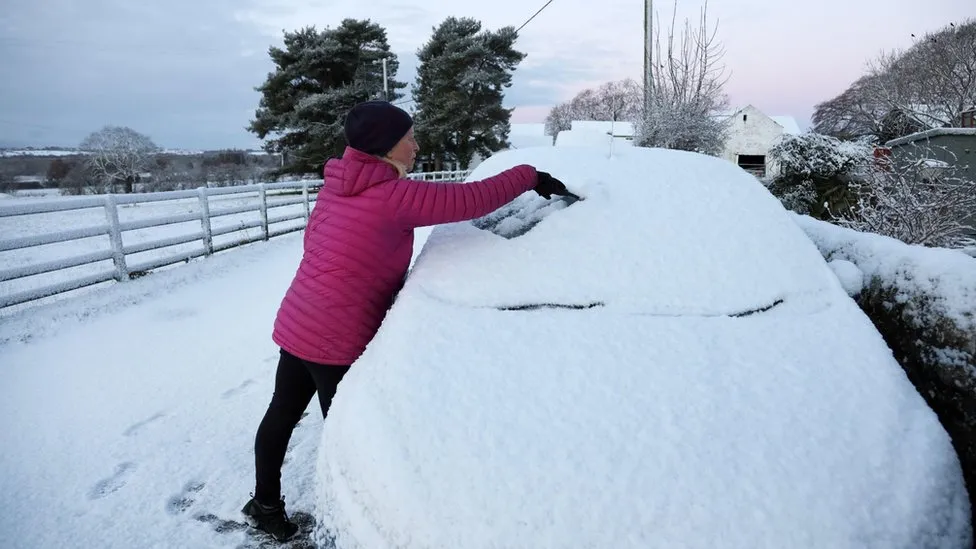
Some eastern parts of the UK have experienced icy conditions and snow due to wintry showers on Thursday.
There is 5cm (2ins) of snow in Aviemore, in the Scottish Highlands. Throughout the day, the Grampians, North York Moors, and parts of the Pennines could see another 2 to 5 cm of snowfall.
Dartmoor may get up to 10 cm of snow over the next few days due to rain, sleet, and snow further south.
On Wednesday, parts of the UK experienced their coldest November night since 2010. The overnight temperature dropped to -5.5C (22F) in Prestwick, in Ayrshire, and -6.1C (21F) in Keswick, Cumbria. Normally, November temperatures are 6C to 10C, which makes this spell particularly unseasonable.
The weather is expected to continue for several more days at least, with daytime temperatures between 1 and 6C, but some areas won’t get above freezing.
Later on Thursday, temperatures will drop down to -3 to -6C overnight, with temperatures falling below freezing soon after sunset.